Test Your Brand’s Strength
Successful companies are built on strong brands — take our new test to find out how yours measures up!


Maryland is home to the most affluent Black county in the United States, Prince George’s County. A rich legacy of activism, national influence, and towering political figures comes with that title. ATHA desired to revive these histories and make them once again public knowledge. It was important to tell the stories and permanently tie Maryland’s Civil Rights history to the nation’s overwhelming cry for equality then, and now. The movement in Prince George’s County inextricably affected the tone within the Nation’s Capitol up the street. openbox9 took the opportunity to make that relevance clear by reshaping expected documentation into a provocative, interactive, and relatable package for modern audiences.

Generating renewed interest in historic events is difficult. In a 24/7 news cycle, there’s little attention to decades-old headlines. ATHA needed a strategy to position these deserving narratives in the here and now, so they created signage as a way to literally place history in the context of modern life.
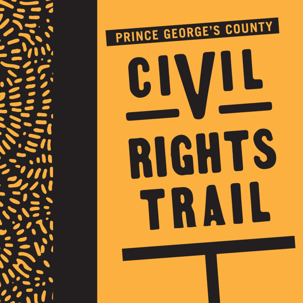
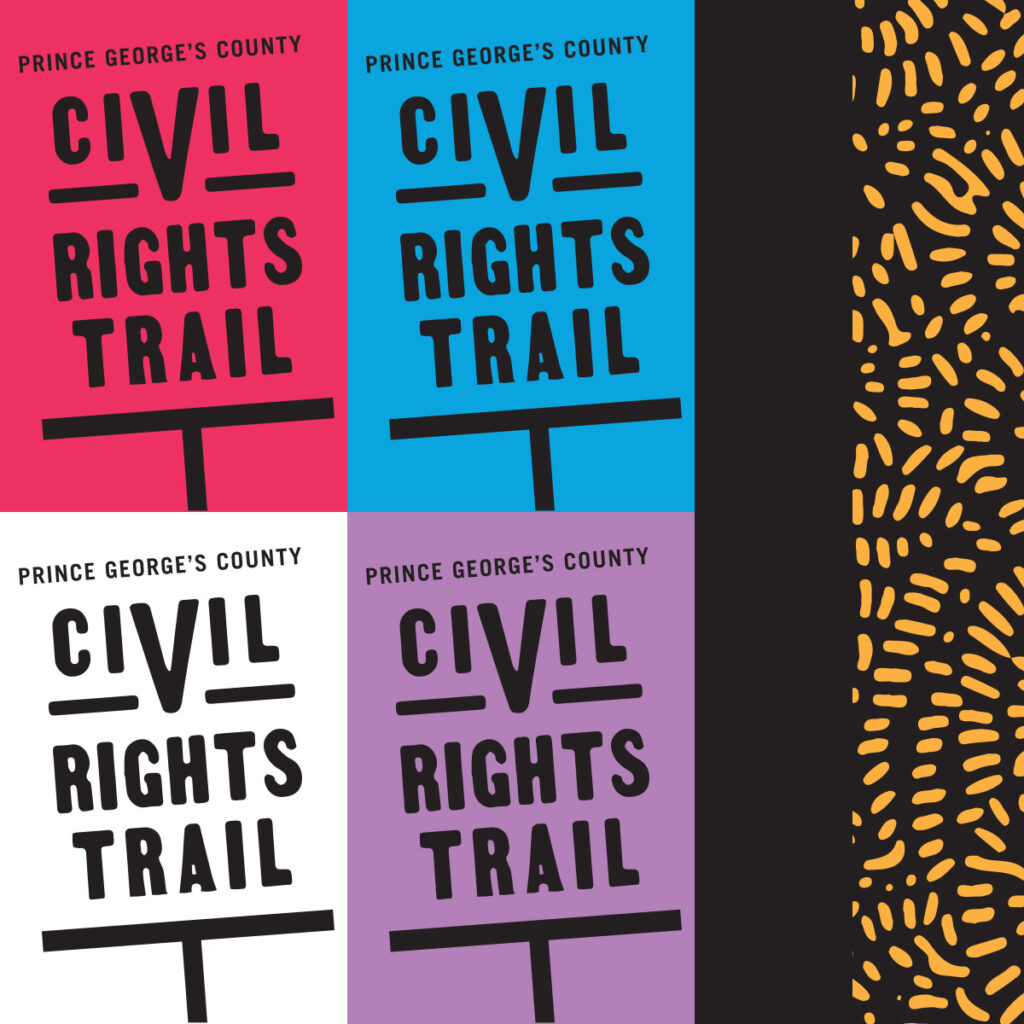
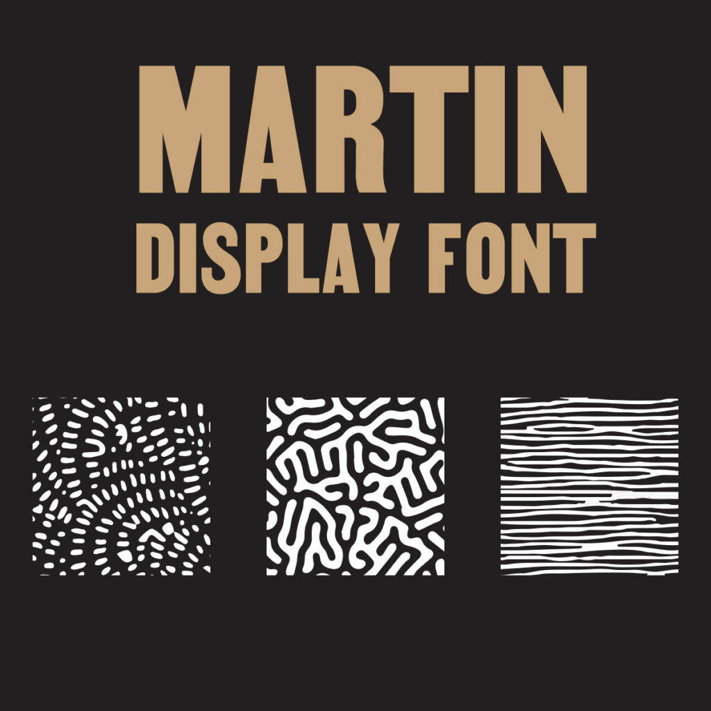
openbox9 developed a visual identity that nodded to the iconic symbols and typography of the mid-century era, infusing it with a new triumphant energy to provide distinction within the signs’ various geographic environments. Chief inspiration came from the handwritten picket signs iconic of the movement, which became both the logo and display font for the brand. We also incorporated several patterns influenced by Black and African cultures, and recalled the primary palette utilized in the Prince George’s County seal. When combined, an exuberant visual system emerged to carry the county’s history forward for another generation.
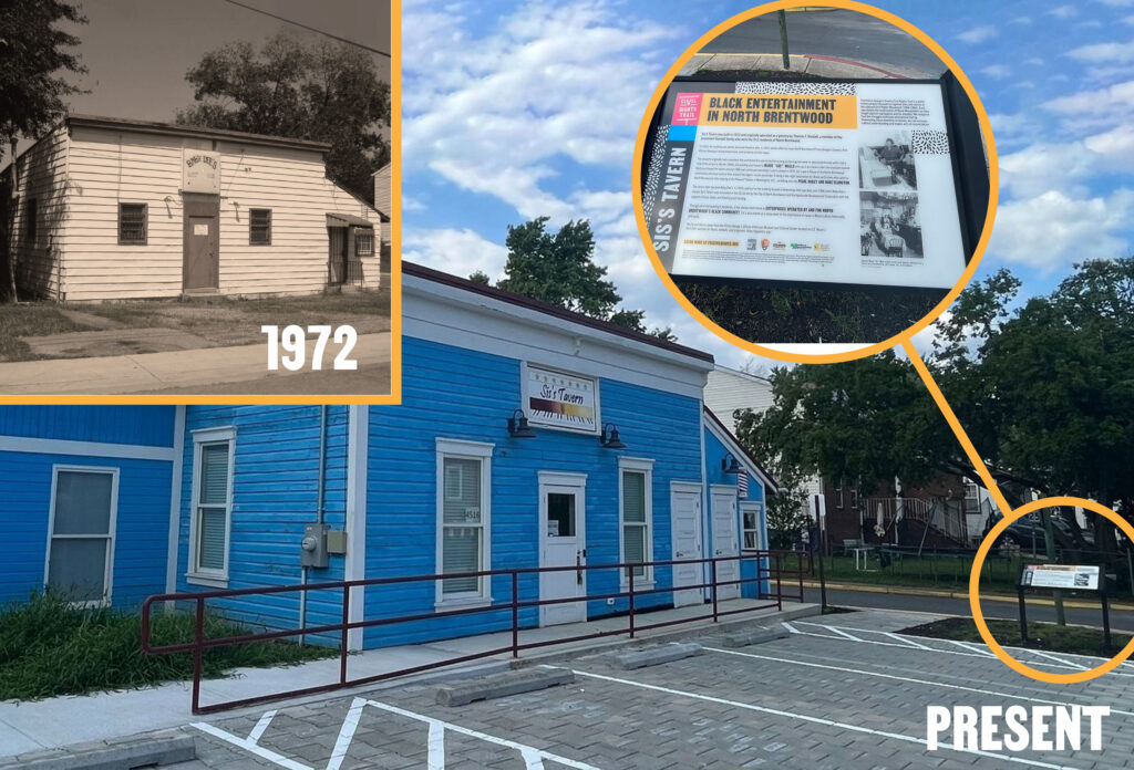
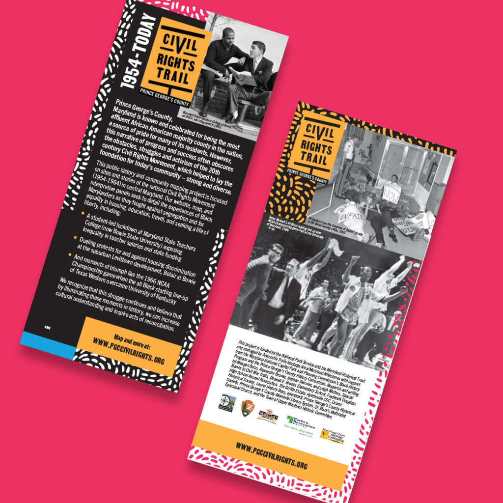
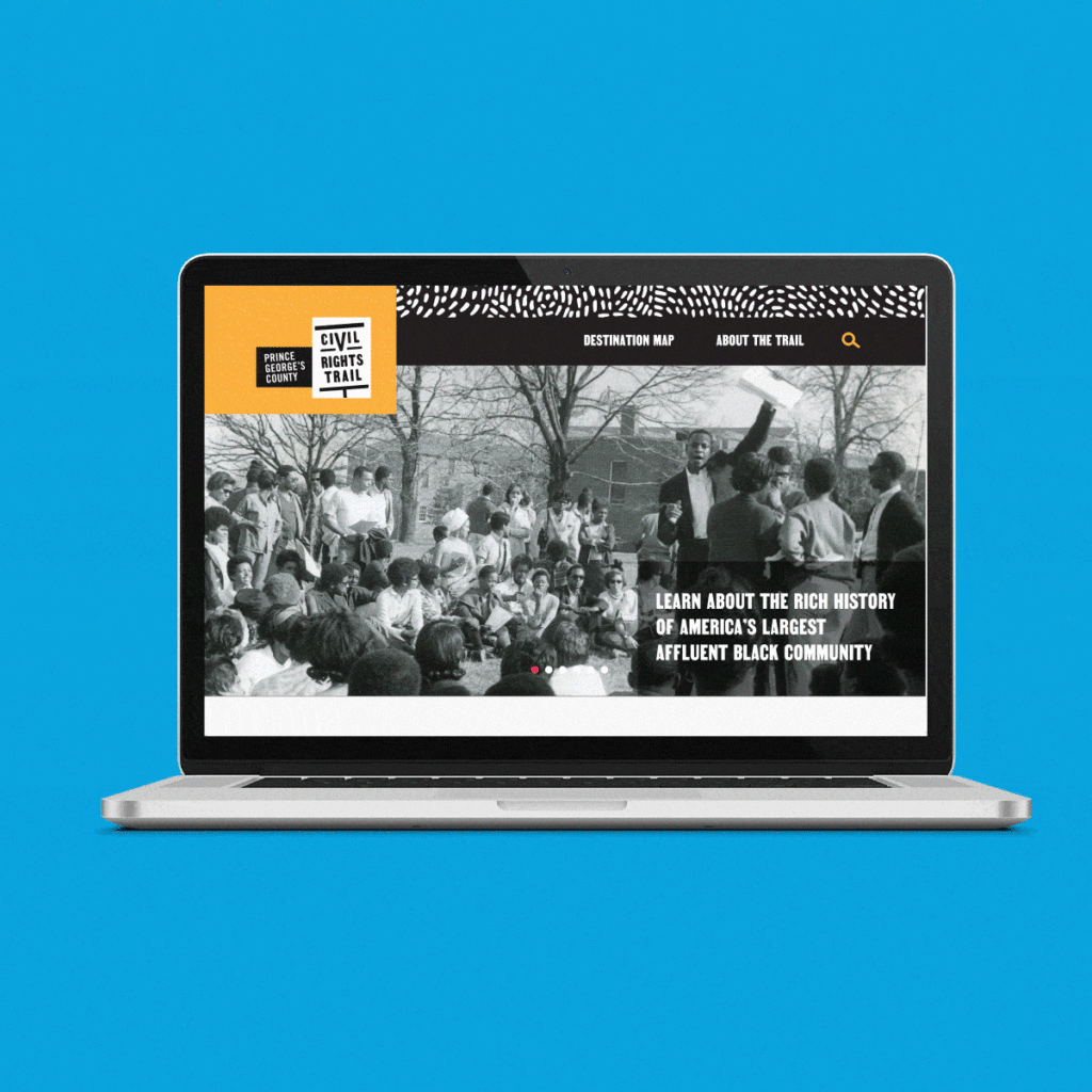
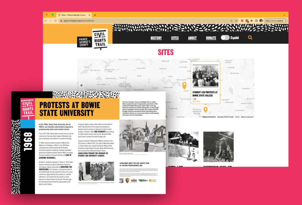
The Civil Rights Trail is a collection of physical land markers that also live online within a companion website. The website provides a crucial wayfinding feature connecting individual locations within a larger trail. It also provides opportunities to expound on the context and complexity of each story. openbox9 designed the signage and their correlating webpages to work in tandem by incorporating QR codes, extended histories, and extra photographic content to better capture the narratives previewed on each physical sign. To improve the experience of moving between physical locations, we proposed an interactive map to document each location as well as a convenient GPS element to efficiently find, preview, and plot a route to the next trail location.
